“Orkney Sky Cam stands out as one of the few local drone businesses holding an Operational Authorization granted by the Civil Aviation Authority (CAA).”
Orkney Sky Cam, a small family-run drone business nestled on the remote north coast of Scotland, specializes in a wide range of aerial drone services. From capturing stunning house portfolios to conducting thorough structure and building inspections, and even crafting compelling video advertisements, we cater to diverse aerial needs.
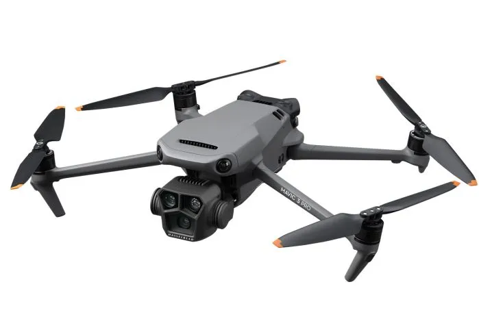
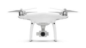
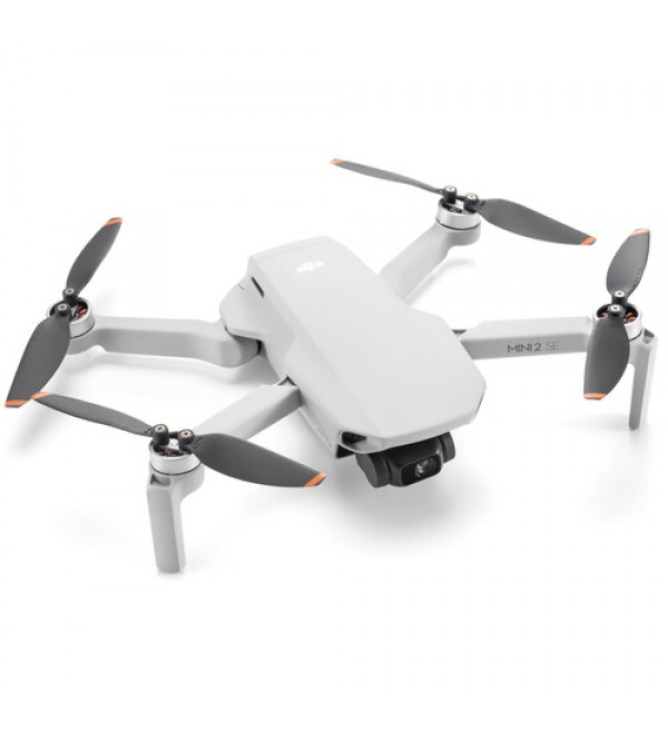
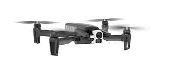
Equipped with an operational altitude of 400 feet and a range of 500 meters, our fleet of drones, including the DJI Phantom 4 Pro, DJI Mavic 3 Pro, DJI Mini 2, and Parrot Anafi Thermal, boast state-of-the-art features. These include smart return to home capabilities, 3-axis gimbal stabilization for steady footage, visual positioning systems, and GPS and GLONASS guidance. Additionally, our Parrot Anafi Thermal drone offers specialized thermal imaging capabilities for building and thermal inspections.
Our drones are capable of recording video in resolutions ranging from 720p to 4K ultra HD and capturing 21-megapixel still images, ensuring crisp and detailed results. While weather conditions in Orkney pose challenges, we prioritize safety and refrain from flying in rain or strong winds.
Operating under an Operational Authorization granted by the Civil Aviation Authority (CAA), we adhere to strict rules and regulations. Additionally, we maintain public liability insurance for £5,000,000, providing our clients with peace of mind.
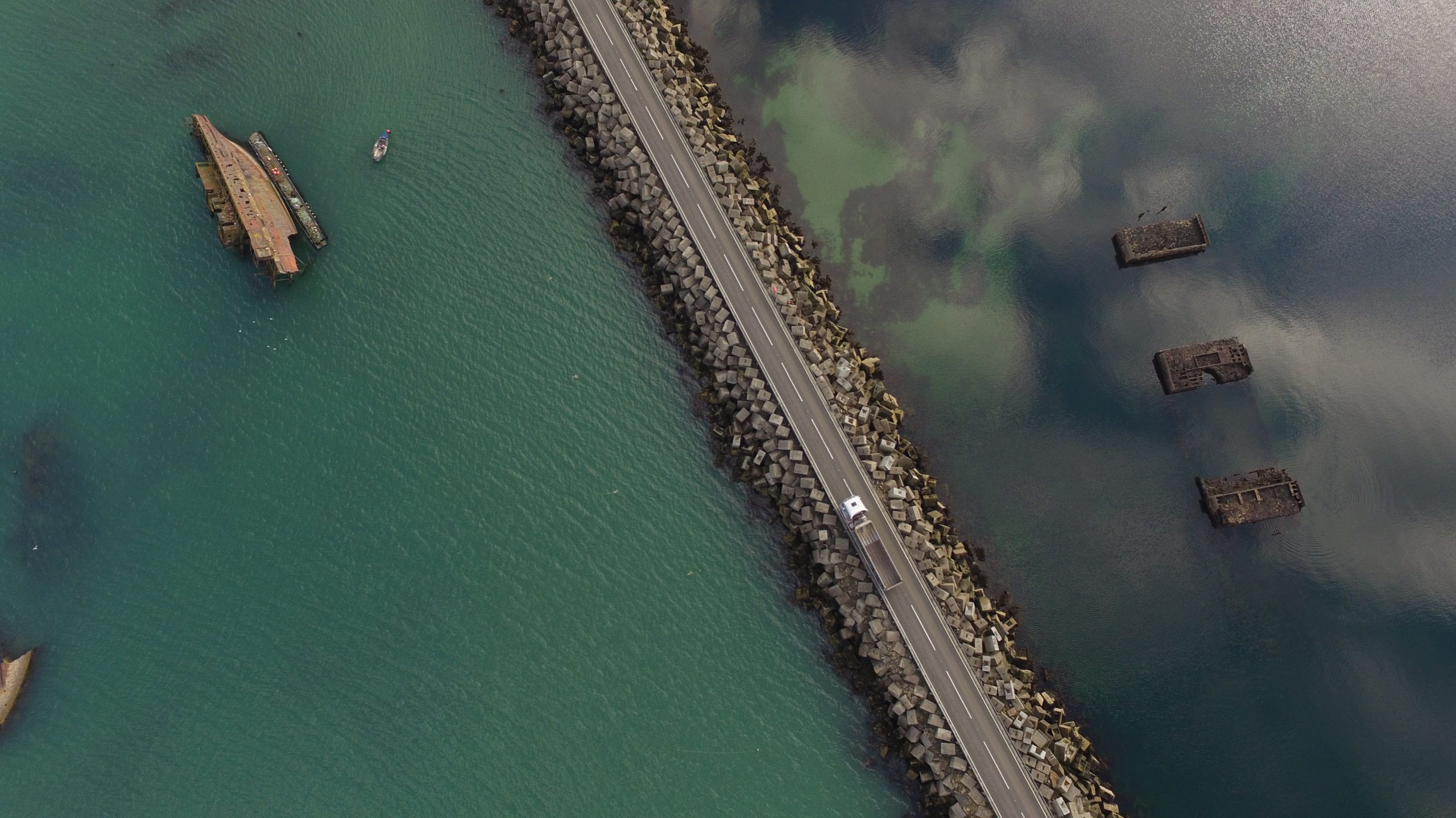
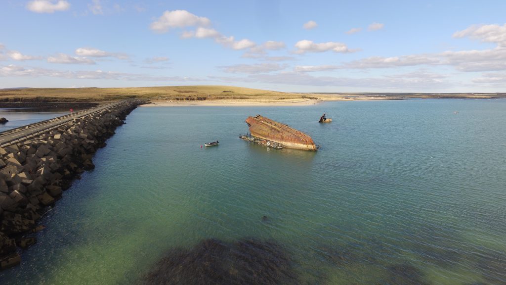
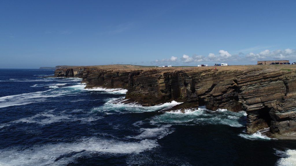
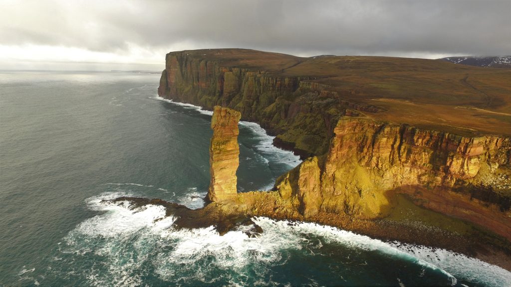
Our expertise extends beyond conventional access methods, as we can fly close to buildings and navigate into challenging positions where other means may not be feasible. This allows us to provide detailed, high-definition imagery of buildings and structures, offering a swift and cost-effective solution for inspections. We collaborate closely with clients on the ground, ensuring that all areas of concern are thoroughly examined. With real-time first-person view (FPV) capabilities, clients or surveyors can observe the drone’s perspective during flight, with detailed results available upon landing.
Platforms